
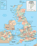
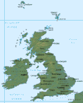
Topographical Map of UK
Map of UK > UK Travel Tips • About Us
UK Topographic Map • UK Terrain Map • London Map
 Topographical Map of the United Kingdom
|
United Kingdom Topography
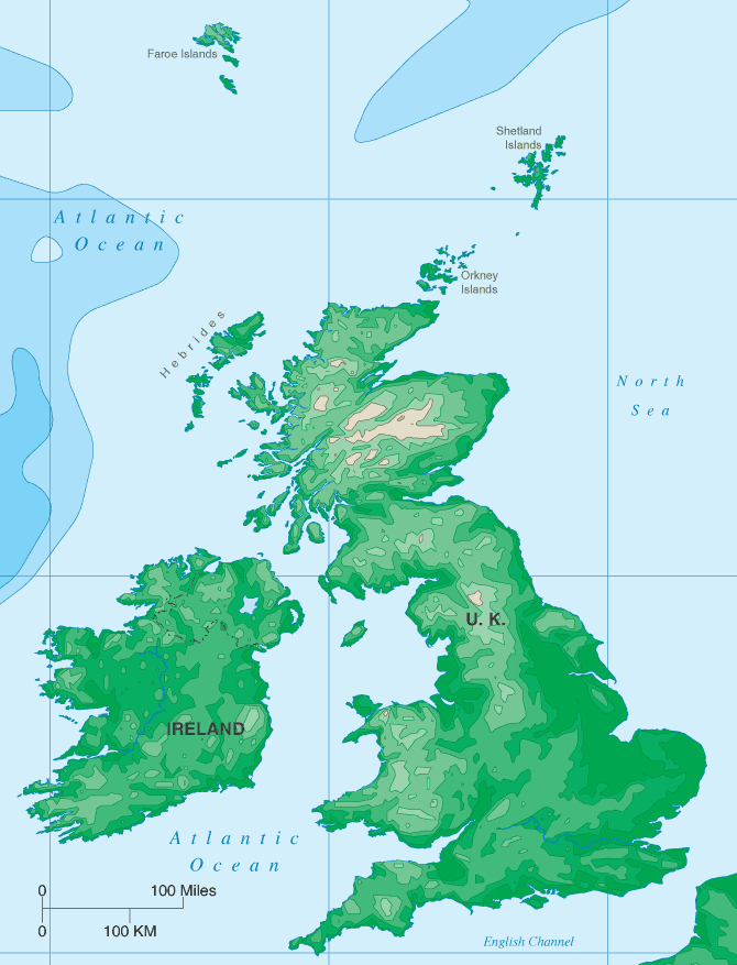
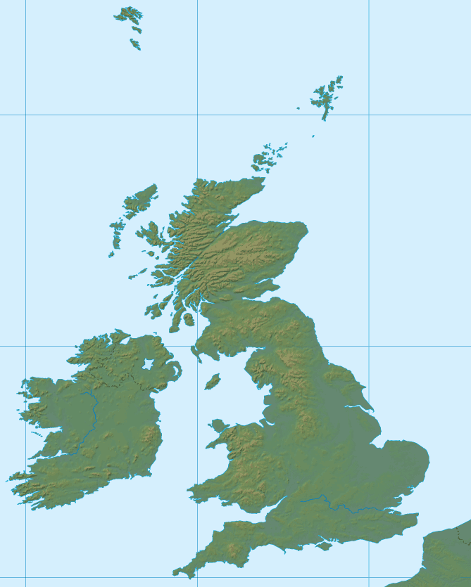
The United Kingdom features a long, rugged coastline, heavily indented with many inlets, bays, and river mouths. Headlands and cliffs may be found along some parts of the coast, especially in Scotland where wide firths and deep, narrow lochs abound.
 The topography of England features hilly regions in the north, west, and
southwest as well as rolling downs and low coastal plains in the east and
southeast. The Cheviot Hills run from east to west on the Scottish
border in the north. The Pennines run north and south from near
Scotland to central England's Derbyshire region. Fertile
agricultural lands, moors, and plains comprise much of the remaining
countryside. The east and west Midlands region, with its rolling
hills and dales, lies to the south of the Pennine Range. England's
highest point is Scafell Pike, in the northwest Lake District, which rises
to 3,210 feet above sea level. The Severn and Thames rivers of
southern England are the longest, at 210 miles and 200 miles,
respectively.
The topography of England features hilly regions in the north, west, and
southwest as well as rolling downs and low coastal plains in the east and
southeast. The Cheviot Hills run from east to west on the Scottish
border in the north. The Pennines run north and south from near
Scotland to central England's Derbyshire region. Fertile
agricultural lands, moors, and plains comprise much of the remaining
countryside. The east and west Midlands region, with its rolling
hills and dales, lies to the south of the Pennine Range. England's
highest point is Scafell Pike, in the northwest Lake District, which rises
to 3,210 feet above sea level. The Severn and Thames rivers of
southern England are the longest, at 210 miles and 200 miles,
respectively.
 Scotland features three topographical areas. The Northern Highlands
occupy the northern half of Scotland and include Ben Nevis, the highest
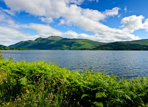
point in the UK; the Central Lowlands average about 500 feet in elevation
and contain the Tay, Clyde, and Forth river valleys as well as Scotland's
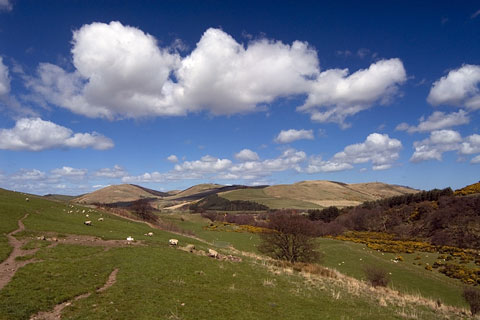
largest lake, Loch Lomond; the Southern Uplands feature the Scottish moor
lands with their many rivers and dells.
Scotland features three topographical areas. The Northern Highlands
occupy the northern half of Scotland and include Ben Nevis, the highest
point in the UK; the Central Lowlands average about 500 feet in elevation
and contain the Tay, Clyde, and Forth river valleys as well as Scotland's
largest lake, Loch Lomond; the Southern Uplands feature the Scottish moor
lands with their many rivers and dells.
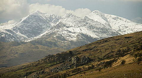 Wales is a hilly, pastoral region occupied largely by the Cambrian
Mountains. The highest point in Wales is Mount Snowdon, which rises
to 3,563 feet above sea level. There are small lowlands in the
north and narrow plains along the south and west coasts.
Wales is a hilly, pastoral region occupied largely by the Cambrian
Mountains. The highest point in Wales is Mount Snowdon, which rises
to 3,563 feet above sea level. There are small lowlands in the
north and narrow plains along the south and west coasts.
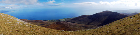 Most of Northern Ireland's topography is low-lying hills and plateaus,
usually no more than 500 feet high, although the Mourne Mountains of
the southeast rise to 2,796 feet at Slieve Donard. The largest lake
in the UK is Lough Neagh, which is located in central Northern Ireland.
Most of Northern Ireland's topography is low-lying hills and plateaus,
usually no more than 500 feet high, although the Mourne Mountains of
the southeast rise to 2,796 feet at Slieve Donard. The largest lake
in the UK is Lough Neagh, which is located in central Northern Ireland.
More Maps of the UK
 UK Map Home |
 UK Relief Map |
 UK Terrain Map |
Maps copyright © MapResources.com. |
||